
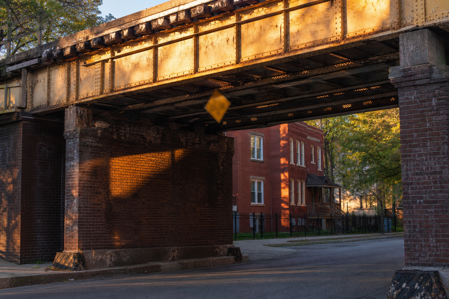

The lowest posted street clearance in CDOT’s truck-limit file is 9 feet 8 inches, where Melrose Street meets Ravenswood Avenue — and it is no outlier: the 1800 West block of Ravenswood appears three times among the city’s eight lowest postings. CDOT’s truck-limit file carries 1,713 posted height restrictions citywide, and 590 of them — about one in three — sit below 13 feet 6 inches, the trailer height limit most states set, per the Federal Highway Administration’s size-regulations report. This page ranks the lowest postings, maps where they cluster, and reads the file’s weight and closure rows alongside. One boundary first: these are the posted limits on CDOT’s signs, as recorded in its file — not measurements of the structures themselves, which the file does not name.
Height and Weight Limits for Trucks and Large Vehicles, Chicago data portal · file updated February 21, 2026; retrieved August 16, 2026 · 1,808 posted restrictions, all reported by Chicago DOTThe fourteen lowest postings
- Melrose St at Ravenswood Ave9 ft 8 in
- Corbett St at Archer Ave10 ft
- Archer Ave at Normal Ave10 ft 6 in (tie)
- Corbett St at Archer Ave10 ft 6 in (tie)
- Wrightwood Ave at Clybourn Ave10 ft 6 in (tie)
- Rosehill Dr at Ravenswood Ave10 ft 8 in
- Campbell Ave at Leland Ave10 ft 10 in (tie)
- Leland Ave at Ravenswood Ave10 ft 10 in (tie)
- 28th Pl at Stewart Ave11 ft 2 in (tie)
- Granville Ave at Winthrop Ave11 ft 2 in (tie)
- Jarvis Ave at Greenview Ave11 ft 2 in (tie)
- Senour Ave at Archer Ave11 ft 2 in (tie)
- Webster Ave at Ashland Ave11 ft 2 in (tie)
- Winchester Ave at 58th St11 ft 2 in (tie)
The list runs to fourteen because the cut lands on ties the file itself makes: three postings at 10 feet 6 inches, two at 10 feet 10, and six at 11 feet 2 — the next value up is 11 feet 4. Each entry is the posted clearance at the address in the restriction’s own description, converted from the file’s decimal feet. The addresses cluster: the Ravenswood Avenue corridor at 1800 West holds the Melrose, Rosehill, and Leland postings, and the Archer Avenue corridor around 2500 South holds three more of the lowest fourteen. What stands above each street — rail, road, or anything else — is not a field in this file, and this page does not guess.
One in three postings sits below 13 feet 6 inches
Per the FHWA’s federal size-regulations report, most states cap trailer height at 13 feet 6 inches. Against that line, Chicago’s posted file reads: 590 of 1,713 height restrictions — 34 percent — post below 13 feet 6 inches, and 831 post below 14 feet. The genuinely low postings are rarer: 239 sit below 12 feet, and just 8 below 11. The file’s highest entry, for scale, posts 59 feet 3 inches at 9920 S. Avenue N. Every figure is the posted value; a posted limit can be more conservative than the physical clearance it describes.
Every community area’s count, in text
Loop 134; Near West Side 134; West Town 77; Englewood 75; Near North Side 61; New City 56; North Lawndale 55; Logan Square 51; Greater Grand Crossing 50; Austin 48; Armour Square 44; South Lawndale 40; Bridgeport 39; Avalon Park 38; Lower West Side 38; Near South Side 37; Lake View 35; McKinley Park 35; Calumet Heights 32; Humboldt Park 31; Rogers Park 30; North Center 29; West Englewood 29; Grand Boulevard 27; East Garfield Park 26; Washington Park 26; Chatham 24; Lincoln Park 24; Brighton Park 22; Lincoln Square 22; Auburn Gresham 21; Avondale 20; Irving Park 20; West Garfield Park 18; Douglas 17; Hermosa 16; Uptown 15; Edgewater 14; Forest Glen 14; Gage Park 14; East Side 13; Fuller Park 13; Woodlawn 13; Hyde Park 10; Portage Park 10; South Deering 10; Chicago Lawn 9; Roseland 9; Ashburn 8; Burnside 7; Pullman 7; Kenwood 6; Archer Heights 5; Garfield Ridge 5; Hegewisch 5; Riverdale 5; Belmont Cragin 4; Jefferson Park 4; Oakland 4; South Shore 4; West Elsdon 4; West Pullman 4; West Ridge 4; West Lawn 3; North Park 2; Albany Park 1; South Chicago 1; Washington Heights 1.
No posted height restrictions in the file: Beverly, Clearing, Dunning, Edison Park, Montclare, Morgan Park, Mount Greenwood, Norwood Park, O’Hare.
The Loop and the Near West Side tie at 134 posted restrictions apiece, with West Town (77) and Englewood (75) next — and the geography is not a downtown story alone: 68 of the 77 community areas carry at least one posted height restriction. The count measures postings, and nothing else.
The weight postings, and ten closures
The same file carries 85 weight restrictions, and their most common posting is 5 tons — 54 rows, most of them boulevard segments, including one the file labels “Boulevard – Old Rte 66” on Ogden Avenue. Ten more rows are flagged as blocked roads outright; the one with a description names the Lake Street Bridge’s closed lanes west of Wacker. Weight rows carry their limits as text postings rather than clearances, and this page reads them as recorded.
Known limits
A restriction here is a row in CDOT’s posted-limits file on the date named — the sign’s value, not a measurement of any structure, and postings can lag physical changes in either direction. The file names no structure types and no owners, so nothing on this page says what crosses any street. The file’s last recorded update is February 21, 2026; postings added or changed since are not here. Four restrictions carry no usable coordinates and sit outside the map and area counts. Clearances are converted from the file’s decimal feet to feet and inches by rounding to the nearest inch.
- Sources Height and Weight Limits for Trucks and Large Vehicles (nc38-56×2, 1,808 rows, file updated February 21, 2026), retrieved August 16, 2026; Boundaries — Community Areas (igwz-8jzy). Trailer-height and bridge-clearance standards: FHWA, Federal Size Regulations for Commercial Motor Vehicles.
- Counting One row is one posted restriction; the file’s 1,808 rows carry 1,808 distinct route IDs, split 1,713 height, 85 weight, 10 blocked. Height clearances are the file’s decimal-feet values, converted to feet and inches by rounding to the nearest inch; ranks and threshold counts use the raw decimal values. Ties are shipped whole, which is why the lowest list runs to fourteen.
- Geography Each height restriction was placed by its recorded start point against the community-area boundary polygons (point-in-polygon, even-odd rule); 1,709 of 1,713 place, and the four without usable points are excluded from area counts.
Computed by KCM Desk from records retrieved August 16, 2026. Human-guided and edited — about this desk. If you spot an error, corrections come first.
Related Keep Chicagoland Moving coverage
- How Chicago Works, by the Numbers
- Chicago Has Waived Nearly Two-Thirds of Its Calculated Filming-Permit Fees Since 2021 — $5.66 Million of $8.78 Million
- The Traffic Census Inside Chicago’s Enforcement Cameras: 2.2 Million Readings, and the Median Matched Segment Down Just 0.4 Percent in a Year
- Chicago’s Own Map of the Pedway Measures 6.66 Miles — a Third More Than Its “Roughly Five”