
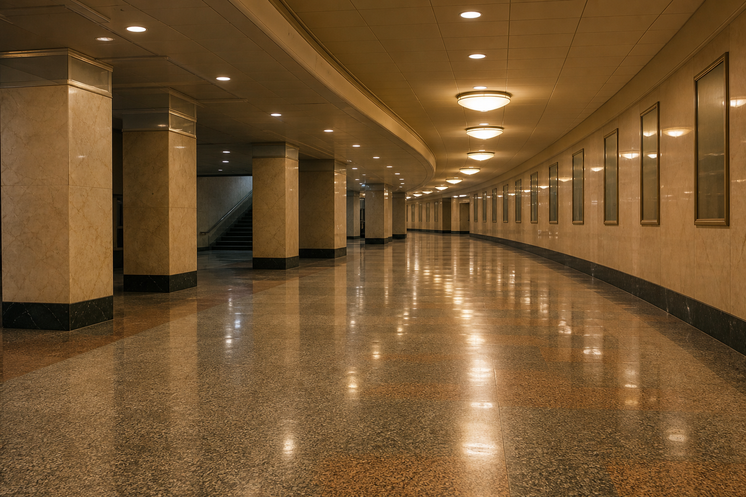

Chicago’s own map of the Pedway measures 6.66 miles — 35,142 feet of traced walkway across 44 named routes — while the dataset’s own description says the system covers “roughly five miles.” Both figures are the city’s; this page simply added up the map. The longest single link is the City Hall & County–Cultural Center Concourse at 2,832 feet, the shortest is a 90-foot walkway, and ten routes hold nearly half the mapped length. One date before anything else: the city last updated this file in January 2013, so every figure here describes the Pedway as the city mapped it then — not the system as it stands today.
Pedway_Routes, Chicago data portal · file last updated January 12, 2013; retrieved August 16, 2026 · 44 named routes, 336 traced segments, lengths computed from the geometry itselfReading the city’s map
The Pedway_Routes dataset is the city’s GIS of its downtown pedestrian way system — in its own description, “underground tunnels and overhead bridges” linking “more than 40 blocks in the Central Business District, covering roughly five miles.” The file itself carries 44 named routes traced as 336 line segments. This page measured every segment from its own coordinates, point to point along the earth’s surface, and the traces sum to 35,142 feet — 6.66 miles. The file’s internal length column agrees with that computation to within a tenth of a percent, so the gap with “roughly five miles” is not a measurement dispute: the city’s prose and the city’s geometry describe the same system differently, and this page reports both without picking a winner. One counting rule matters: where a building has ground-, upper-, and lower-level concourses, the file maps each as its own route — ten of the 44 names carry an explicit level — so the total is mapped walkway, not street distance covered.
The ten longest links
- City Hall & County – Cultural Center Concourse2,832 ft
- Merchandise Mart Ground Level Concourse2,077 ft
- 203 North LaSalle – Renaissance Hotel Concourse1,953 ft
- Millennium & N Grant Park Garage Walkway1,814 ft
- Ogilvie Metra Station1,724 ft
- Metra Millennium Park Station Concourse1,660 ft
- BC/BS – Monroe Garage & Grant Park Concourse1,180 ft
- Merchandise Mart Upper Level Concourse1,117 ft
- Two Illinois – Three Illinois Concourse988 ft
- Chase Tower Lower Level Concourse935 ft
The ten longest routes hold 16,280 of the map’s 35,142 feet — 46 percent. The list is a tour of how the system actually works: its spine runs under the civic core (the City Hall–Cultural Center concourse), its bulk through commuter infrastructure (two Metra station concourses and the Millennium Park garages), and its edges through the buildings it was built to connect. Every name is the file’s own 2013 label, and several are time capsules — the map still says Chase Tower, Macy’s, and Smurfit Stone, and its Thompson Center routes describe the building as the city mapped it more than thirteen years ago. The names are printed as recorded, and this page makes no claim about what any of those buildings is called or used for today.
What the Pedway is not
Videos about “underground Chicago” often mix images of the Pedway with images of the city’s old freight tunnels. This page measures only the Pedway — the walkway system this file maps. A search of the city’s data portal catalog on August 16 returned no freight-tunnel dataset, so nothing about those tunnels can be measured from the portal, and nothing here tries.
Known limits
The file is more than thirteen years old, and the city has published no newer version of it on the portal; whatever has opened, closed, or changed access since 2013 is not in this map. A route here is a mapped centerline — the file carries no hours, no accessibility details, and no record of whether any door at either end is open. Lengths are computed from the traced geometry and include separate routes for separate levels of the same building, so the 6.66-mile total measures the map’s walkways, not a walk anyone would take end to end. The five-mile figure is the dataset’s own description, quoted verbatim.
- Sources Pedway_Routes (xkur-4g6u, 44 rows, file last updated January 12, 2013), retrieved August 16, 2026. The freight-tunnel absence was checked against the portal catalog on the same date.
- Measuring Each route is a set of traced line segments; length is the sum of point-to-point geodesic (haversine) distances along every segment, converted to feet and miles. The file’s own shape-length column sums to 35,171 feet, within 0.1 percent of our 35,142 — close agreement that corroborates the computation and is consistent with the column being measured in feet.
- Names Route names appear exactly as the 2013 file records them, with conventional capitalization for display. No name was updated to any building’s current tenant or owner.
Computed by KCM Desk from records retrieved August 16, 2026. Human-guided and edited — about this desk. If you spot an error, corrections come first.