
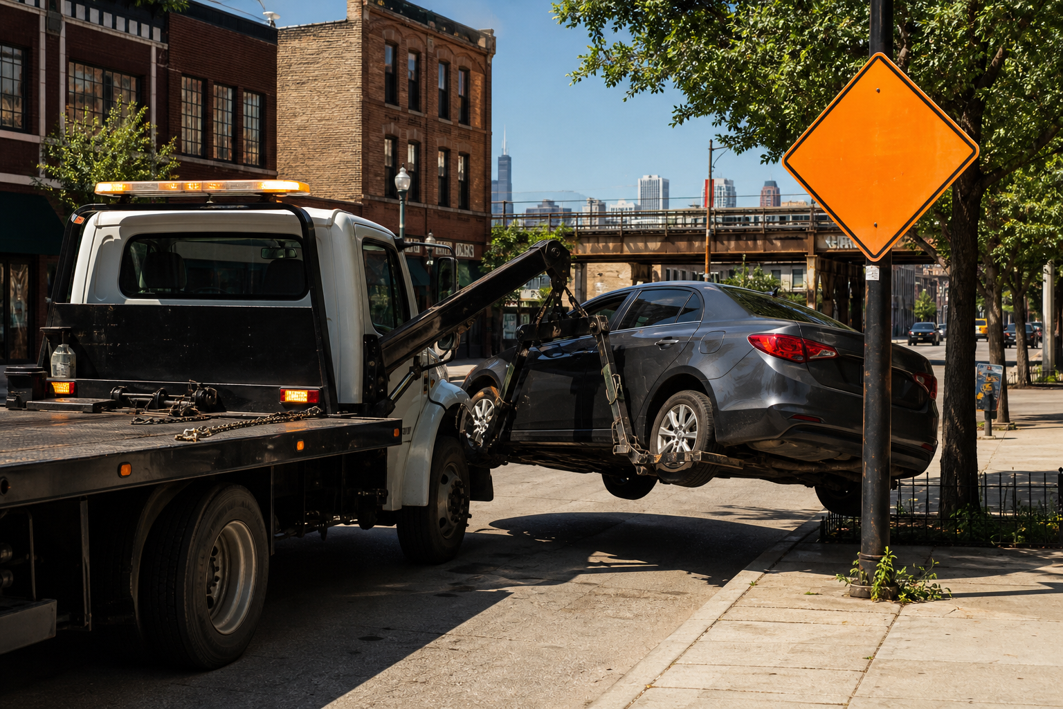

In the 90 days ending August 8, Chicago recorded 5,396 vehicle tows and 4,259 relocations — about 107 recorded moves a day, counting a vehicle moved twice as two rows, the way the files do. Chicago publishes two running lists of cars it has moved: vehicles towed and impounded, and vehicles relocated — moved without being impounded, in the file’s own description — to clear a work zone, a crash, a film shoot. Each list covers only the last 90 days and rolls forward daily, so we downloaded both on August 8 and kept the copies. The tows went almost entirely to two pounds. The relocations mostly carry city-department work reasons: 53 percent are labeled with one, led by street resurfacing — and in the file’s own from- and to-street fields, 72 percent of relocated cars record a different street than the one they were taken from.
Towed Vehicles and Relocated Vehicles files, Chicago data portal · both downloaded August 8, 2026, windows May 11–August 8 · the live files roll daily; this page describes the archived copiesTwo different moves
The towed-vehicles file lists vehicles towed and impounded — for illegal parking, abandonment, or police matters, per the dataset’s description — and records where each vehicle was taken, though not why. The relocated-vehicles file records the second kind of move: vehicles moved without being impounded, each with a reason, the address it was moved from, and the address it was set down. Because both datasets hold only a rolling 90 days and are overwritten as days pass, this page works from copies saved on August 8, 2026; the live datasets will show different rows later, and our archived copies are available on request through the corrections page.
Where the tows went
- 701 N. Sacramento3,06857%
- 10300 S. Doty2,04738%
- 400 E. Lower Wacker2805%
- O’Hare remote lot E1
Ninety-five percent of the 5,396 tows ended at two pounds: 3,068 vehicles at 701 North Sacramento and 2,047 at 10300 South Doty, with the Lower Wacker facility taking 280 and exactly one vehicle logged at an O’Hare remote lot. The tow file records the destination, the vehicle’s make, and the date — it does not record why any particular vehicle was towed, and this page does not guess.
Why the city moves a car without impounding it
- CDOT street resurfacing1,23029%
- “Other”98623%
- Forestry3368%
- CDOT curb and gutter3298%
- Accident3157%
- Broken down or stalled3067%
- Water Management2476%
- Film Office1734%
Add up the reasons that name a city department’s work — the six CDOT labels (the Department of Transportation: resurfacing, curb and gutter, speed humps, sidewalk, painting, electrical), plus Forestry, Water Management, street operations, and sanitation — and they cover 2,238 of the 4,259 relocations, 53 percent. The resurfacing label alone sits on 1,230. The second-largest label in the file is “Other,” on 986 relocations — 23 percent of the file, unexplained by anything else in the record. Another 173 relocations carry the Film Office label, 122 carry Peoples Gas or Commonwealth Edison, and 43 carry “U.S. Cellular Field Sox.” Every reason label above is the file’s own wording, tallied as written.
Where relocations start, and where cars land
- Uptown254
- Lake View231
- Near North Side180
- Belmont Cragin168
- Austin153
Relocations start everywhere — every origin in the file carries an area code, assigned by the crosswalk described in the method note, and the top five span the North Side, the Northwest Side, and the West Side. Where the cars land is the part owners feel: for 1,177 of the 4,259 — 28 percent — the recorded to-street matches the recorded from-street as written; for the other 72 percent the recorded streets differ. The most common drop street in the file is Lower Wacker, with 86 vehicles, ahead of Ashland with 68 and Montrose with 47. Each relocation row carries the from-address, the to-address, and a service-request number — the file is, among other things, the public record of where a moved car went.
Known limits
Counts are vehicle-moves, not distinct vehicles: a car moved twice appears twice, and this page uses no plate or owner information, so it cannot say how many distinct vehicles the rows represent. The two files cover overlapping but separately maintained operations; nothing links a specific relocation to a later tow except 25 rows the relocation file itself labels “Pound Transfer” — a label that sits in tension with the file’s not-impounded description and that the record does not explain; they are counted here as relocations because that is where the city records them. The relocation file’s date field can carry scheduled future moves; this window held none. The tow file carries no reason and no origin address, so tows cannot be mapped or explained from the file alone. And both windows are 90 days — nothing here is an annual rate.
- Sources Towed Vehicles (ygr5-vcbg) and Relocated Vehicles (5k2z-suxx), both retrieved August 8, 2026; both are rolling 90-day windows covering May 11–August 8, 2026 at retrieval. Day-stamped copies (with no plate fields) are archived with this analysis because the live files overwrite themselves.
- Counting One row = one recorded move. The city-crew grouping sums these reason labels exactly: the six CDOT labels, Forestry, Water Management, Street Operations, and Sanitation; utility work (Peoples Gas, Commonwealth Edison) is not counted in it. Same-street comparisons match the from- and to-street name fields as written.
- Geography Relocation origins use the portal’s computed community-area column, which stores internal region codes; the code-to-area crosswalk was derived from the city’s 311 file (v6vf-nfxy), which carries both columns — each of the 77 codes assigned the community area named by over 95 percent of that code’s 2026 311 rows, rows created January 1 through August 8, 2026 — with names from the boundary dataset (igwz-8jzy); both crosswalk inputs were also retrieved August 8, 2026. Every relocation row in this window carried a code.
Computed by KCM Desk from records retrieved August 8, 2026. Human-guided and edited — about this desk. If you spot an error, corrections come first.
Related Keep Chicagoland Moving coverage
- Chicago Transit, by the Numbers
- Chicago’s Winter Parking Ban Covers 20 Stretches of 18 Streets From 3 to 7 a.m., Dec. 1 to April 1, Snow or Not. O’Hare Gets Two Inches of New Snow on About Five Days a Winter
- Chicago’s Scooter Feed Logged 9.45 Million Trips in 2025. Two of Its Four Vendors Are Delivery-Robot Companies.
- The Busiest Streets in Chicago, Ranked by Measured Segment from the City’s Own Traffic Counter
- Chicago Has Waived Nearly Two-Thirds of Its Calculated Filming-Permit Fees Since 2021