
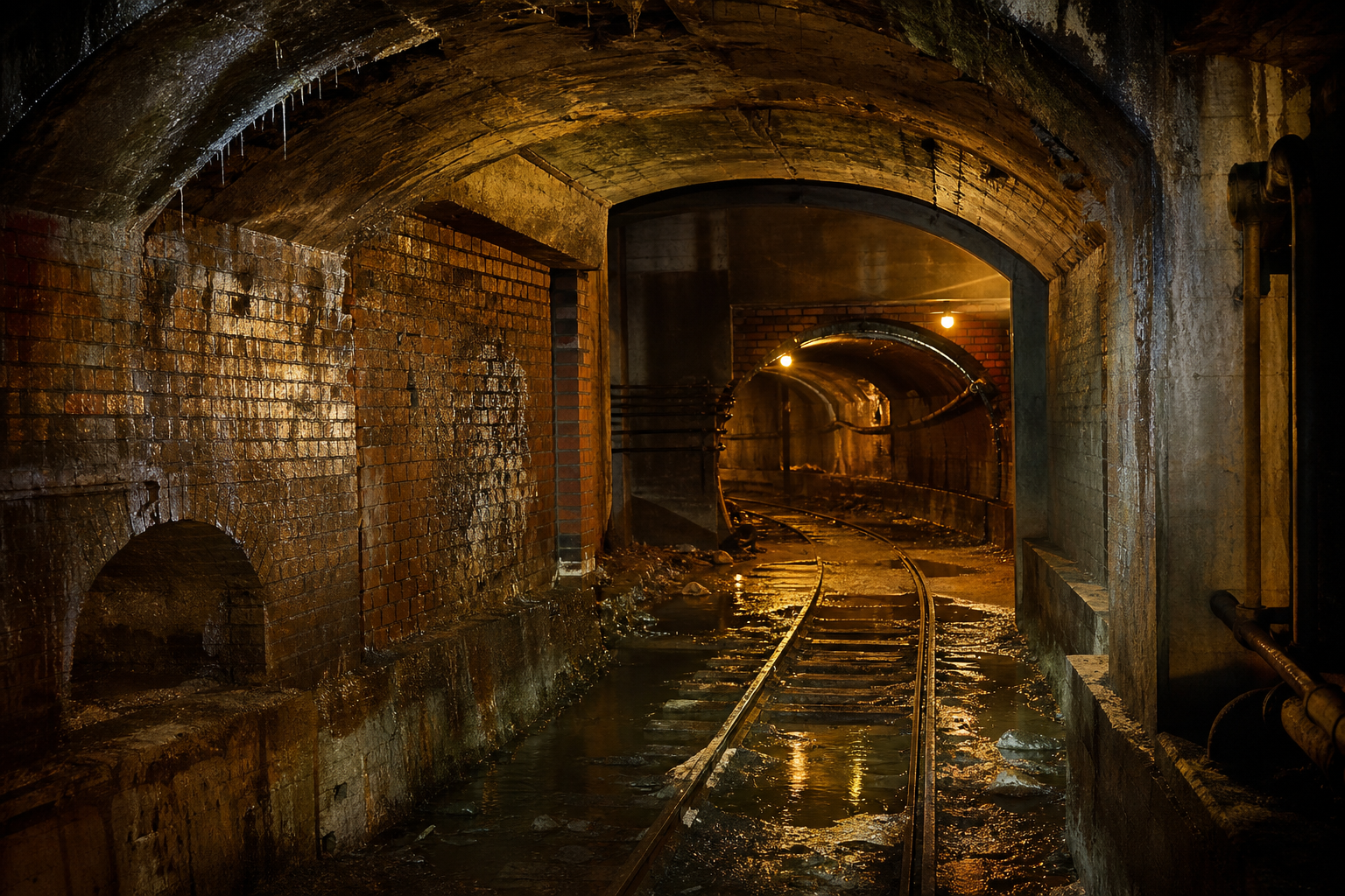

What sits under Chicago gets asked about constantly, and the answers in circulation are usually secondhand. What is usually missing is the record. Here are seven things under Chicago, each traced to a named source you can read yourself: the Encyclopedia of Chicago (a Chicago Historical Society and Newberry Library work), the city’s own Pedway page and map file, WTTW’s reporting on the 1992 flood, the Metropolitan Water Reclamation District — a separate government, not a city department — and two files we have already read whole on this site. This page takes no position on where anyone should live, dig or wander; it reports what the record shows, and where a figure is our own computation it says so.
1. Chicago raised its streets by four to five feet on average — where it raised them
The Encyclopedia of Chicago’s entry on the raising of the street grades states it plainly: “the streets on most of the South Side and parts of the North and West Sides were raised by an average of between four and five feet, though in some places by as much as eight feet” — done, per the same entry, “in two stages, in 1855–56 and 1857–58,” to make drainage and a sewer system possible on ground too flat to drain itself. The sewers came first and the street came up to meet them: the system was “designed by engineer Ellis Sylvester Chesbrough” for the city’s Board of Sewerage Commissioners, construction beginning in 1856. It is one of the stranger municipal facts in American city-building, and it is documented.
2. The buildings came up one at a time — and some houses never did
The street was a public project; the buildings were not. The encyclopedia again: “raising buildings to the higher grade was left to individual property owners,” and lifting the era’s brick hotels and banks was, in its words, a technological feat of the 1850s. One name in that trade became famous: “George M. Pullman, of sleeping car fame, made his initial reputation in Chicago raising buildings.” And the entry closes a loop you can still walk past today: “houses in some parts of the city are still below grade.” Our reading, labeled as ours and one documented explanation rather than the only possible one for any given house: some old Chicago front doors sit below the sidewalk because the house stayed put while the street rose around it — though settlement or later regrading can produce the same look.
3. A freight-railroad network still sits under the Loop — carrying cables now
Under downtown runs what WTTW’s Chicago Stories account of the 1992 flood — the source for every quote in this item and the next, linked in the sources below — calls “a unique but mostly forgotten underground freight tunnel system” — and forgotten is not gone. Per the same reporting: “still used for fiber optic cables and ComEd cables,” but for the most part the tunnels sit empty. The city above mostly forgot them — until 1992, which is the next item.
4. The Loop once flooded from below — with the river, not rain
“On the morning of April 13, 1992,” WTTW’s account begins, “fish were swimming in the basement of the Merchandise Mart.” New river pilings had punctured the old freight-tunnel roof, and the Chicago River poured into the network and up into connected basements: “An estimated 250 million gallons of river water flooded the tunnel system and building basements,” in an episode that “cost almost $2 billion.” The reporter who broke the story described the swirl at the Kinzie Street bridge in a line the piece preserves: “It looked like the biggest bathtub drain in the world.” At street level, there was nothing to see.
5. The Pedway links more than 40 blocks of downtown, mostly out of sight
The city’s own transportation department describes the Pedway as a system that “links more than 40 blocks in the Central Business District, covering roughly five miles,” connecting CTA, Metra, Amtrak and South Shore Line facilities. It is older than most of its walkers: “Development of the Pedway began in 1951,” with “one-block tunnels connecting the Red Line and Blue Line subways at Washington Street and Jackson Boulevard,” and today “the system now connects more than 50 buildings.” One figure on this page is ours: the city publishes the Pedway as a map file on its data portal, and that file draws the network in 44 route segments (Pedway Routes, aqxt-626s, counted August 27, 2026).
6. A tunnel system runs up to 300 feet down — and it is not the city’s
The Deep Tunnel is not the city’s — it belongs to the Metropolitan Water Reclamation District of Greater Chicago, a separate government with its own board and taxes — and its own page states the scale: “TARP includes four tunnel systems totaling 110 miles of tunnels, 8 to 33 feet in diameter and 150 to 300 feet underground.” The system today holds a “capacity of more than 11 billion gallons” of combined sewage and stormwater; when its last reservoir stage is done, “TARP will have a total capacity of 17.5 billion gallons” — in the district’s own phrase, “more than 4,666 gallons for each person in its service area.” We have read the district’s daily pumping ledgers whole: across the 28 fully logged years in the two ledgers we reviewed, 1,546,047 million gallons — about 1.5 trillion — came back out of the tunnels, a figure computed by us from those logs in our Deep Tunnel piece, linked below.
7. When a shovel finds the buried city, a file records the hit
What is actually down there, under an ordinary street? One honest answer comes from the file that records what diggers hit. Chicago’s 811 damage file — which we have read whole — holds 14,508 utility-hit reports since 2015 (as retrieved August 20, 2026). The facility column’s most common entry is GAS SERVICE, on 4,882 reports, and the most-named facility owner in the file is Peoples Gas, as filed, on 6,216. The buried city is not an abstraction: it is gas, water, electric and fiber, dense enough that a public file logs roughly twenty-five hits a week. Every figure in this item is our computation from that file, in the piece linked below.
Answers to the questions people actually search
Did Chicago really raise its streets and buildings? Yes — the Encyclopedia of Chicago records streets raised an average of four to five feet in two stages in the 1850s, building-raising left to owners, and houses in some parts of the city still below grade.
What flooded the Loop in 1992? The Chicago River, from below: an estimated 250 million gallons entered the old freight-tunnel network after pilings punctured a tunnel roof on April 13, 1992, at a cost WTTW puts at almost $2 billion. No rain was involved.
Can you really walk across downtown underground? Per the city’s own Pedway page: more than 40 blocks and roughly five miles, connecting more than 50 buildings — a network the city’s map file draws in 44 route segments.
Sources
Encyclopedia of Chicago, “Street Grades, Raising” · WTTW Chicago Stories on the 1992 Loop flood · City of Chicago, CDOT, “The Pedway” · Pedway Routes (aqxt-626s) · MWRD, “Tunnel and Reservoir Plan (TARP)” · our Deep Tunnel ledger read and our 811 utility-hit file read. Every quoted fragment on this page was verified verbatim against its source page on August 27, 2026; figures labeled as ours are computed in the linked pieces.
Computed and verified by KCM Desk. Human-guided and edited — about this desk. If you spot an error, corrections come first.
Related Keep Chicagoland Moving coverage
- 8 Chicago Height Records, by the Record: The City That Raised Its Streets, a Footprint File Where Two Stories Is King — and a Stories Column That Tops Out at 110
- How Chicago Works, by the Numbers
- Chicago’s Deep Tunnel, by MWRD’s Own Records: 1.55 Trillion Gallons Pumped Back in 28 Logged Years, $3.86 Billion in Contract Dollars — and the Last Reservoir Stage Has Slipped From 2029 to 2032
- Chicago’s 811 File Holds 14,508 Utility-Hit Reports Since 2015. Gas Leads — and 846 Reports Record What Was Hit as UNKNOWN.
- The Lowest Posted Clearance in Chicago’s Truck-Limit File Is 9 Feet 8 Inches — and One in Three Postings Sits Below 13 Feet 6